寒冷半干旱草原景观大比例尺微沟系测量样品粒级试验——以锲墨格山锂铍稀有矿为例
Grain-scale experimental study of samples using the large-scale micro-channel system survey technique for the cold, semi-arid grassland landscape: A case study of the rare Li-Be ores in the Qiemoge Mountain
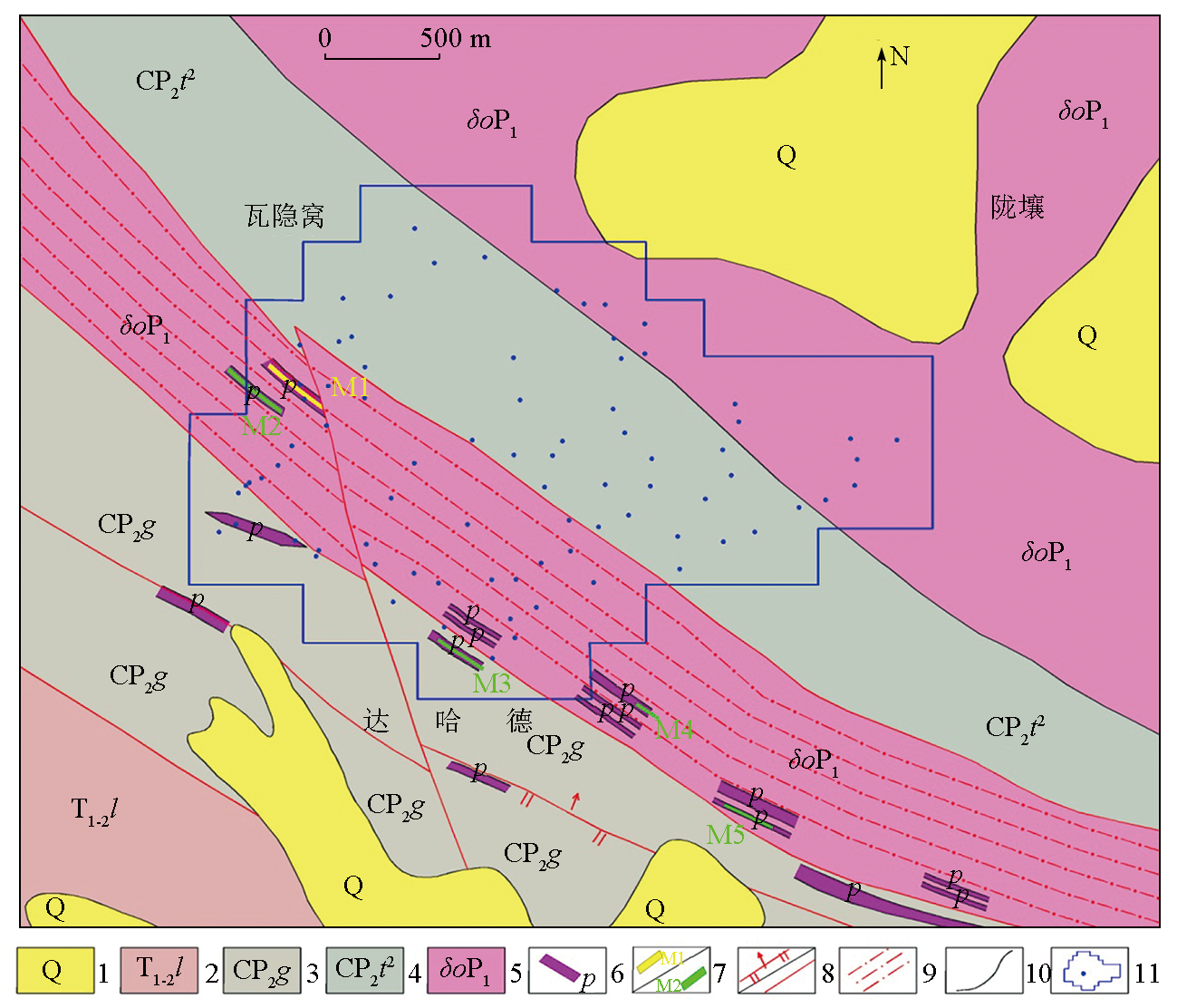
1—第四系地层;2—下-中三叠统隆务河组;3—石炭系-中二叠统果可山组; 4—石炭系-中二叠统土尔根大坂组;5—早二叠世石英闪长岩;6—花岗伟晶岩脉;7—锂/铍矿体; 8—逆断层及性质不明断层; 9—韧性剪切带; 10—地质界线; 11—采样点位及范围
1—Quaternary strata; 2—early-middle Triassic Longwuhe formation; 3—Carboniferous-middle Permian Guokeshan formation; 4—Carboniferous-middle Permian Tuergendaban formation; 5—early Permian quartz diorite; 6—granite pegmatite veins; 7—lithium/beryllium orebody; 8—reverse faults and faults of unknown nature; 9—ductile shear zones; 10—geological boundary; 11—sampling point and range