寒冷半干旱草原景观大比例尺微沟系测量样品粒级试验——以锲墨格山锂铍稀有矿为例
Grain-scale experimental study of samples using the large-scale micro-channel system survey technique for the cold, semi-arid grassland landscape: A case study of the rare Li-Be ores in the Qiemoge Mountain
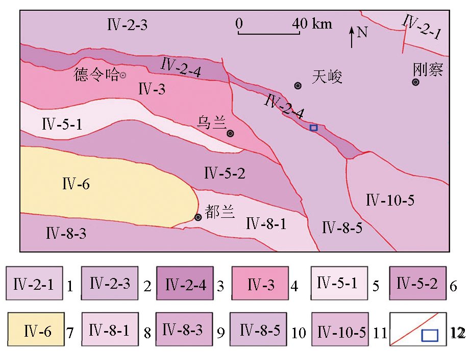
1—中祁连岩浆弧;2—南祁连岩浆弧;3—宗务隆山-夏河陆缘裂谷;4—全吉地块;5—滩间山岩浆弧;6—柴北缘蛇绿混杂岩带;7—柴达木盆地;8—祁漫塔格北坡-夏日哈岩浆弧;9—北昆仑岩浆弧;10—鄂拉山陆缘弧;11—泽库前陆盆地;12—边界断裂及研究区
1—central Qilian magmatic arc; 2—south Qilian magmatic arc; 3—Zongwulongshan-Xiahe terrestrial rift; 4—Quanji plot; 5—Tanjianshan magmatic arc; 6—ophiolite melange belt in northern Chaidamu basin; 7—Chaidamu basin; 8—the northern slope of Qimantage-Xiariha magmatic arc; 9—northern Kunlun magmatic arc; 10—continental margin arc of the Elashan; 11—Zeku foreland basin; 12—boundary faults and study area