基于空间分析的航空物探专题底图制作方法——以达州—华蓥测区为例
The method of making the airborne geophysical thematic base-map based on spatial analysis: Exemplified by the Dazhou-Huaying survey area
基于空间分析的航空物探专题底图制作方法——以达州—华蓥测区为例 |
| 张琦洁, 闫红雨, 张婷婷, 吴云, 高姗 |
|
The method of making the airborne geophysical thematic base-map based on spatial analysis: Exemplified by the Dazhou-Huaying survey area |
| ZHANG Qi-Jie, YAN Hong-Yu, ZHANG Ting-Ting, WU Yun, GAO Shan |
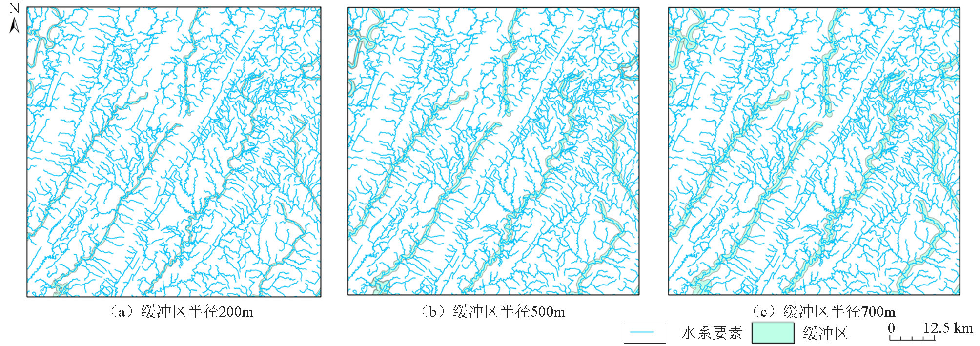
| 图5 研究区内水系建立不同缓冲区半径200 m(a)、500 m(b)、700 m(c)对比效果 |
| Fig.5 Comparative effects of different buffer radius of 200 m (a), 500 m (b) and 700 m (c) established by river systems in the study area |
|
|