基于空间分析的航空物探专题底图制作方法——以达州—华蓥测区为例
The method of making the airborne geophysical thematic base-map based on spatial analysis: Exemplified by the Dazhou-Huaying survey area
基于空间分析的航空物探专题底图制作方法——以达州—华蓥测区为例 |
| 张琦洁, 闫红雨, 张婷婷, 吴云, 高姗 |
|
The method of making the airborne geophysical thematic base-map based on spatial analysis: Exemplified by the Dazhou-Huaying survey area |
| ZHANG Qi-Jie, YAN Hong-Yu, ZHANG Ting-Ting, WU Yun, GAO Shan |
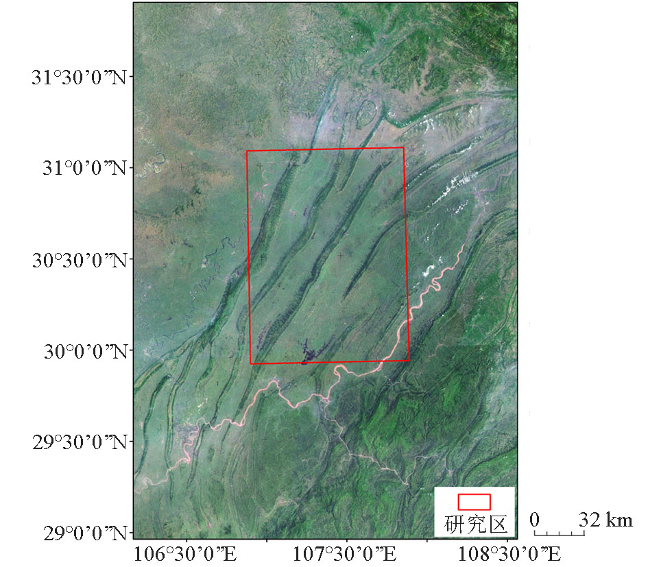
| 图1 研究区位置示意 |
| Fig.1 The position diagram of study area |
|
|