可控源音频大地电磁测量对腾格尔坳陷东北缘下白垩统赛汉组砂体的识别及其地质意义
The identification of the sand body of Lower Cretaceous Saihan Formation on the northeastern margin of Tengger depression by controlled source audio frequency magnetotelluric survey
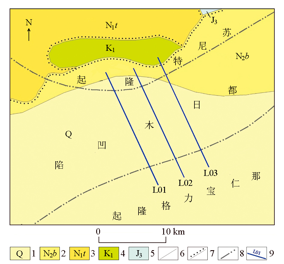
1—第四系;2—上新统宝格达乌拉组;3—中新统通古尔组; 4—下白垩统;5—上侏罗统;6—实测地质界线;7—角度不整合界线;8—构造单元界线;9—测线及编号
1—Quaternary system; 2—baogedawula formation of Pliocene; 3—tonguer formation of Miocene; 4—lower Cretaceous; 5—upper Jurassic; 6—measured geological boundary; 7—angular unconformity boundary; 8—structural unit boundary; 9—line and line number