CO2气体测量方法在低山丘陵区隐伏矿勘查的试验研究
Pilot study of CO2 gas measurement method for mineral exploration in hilly areas
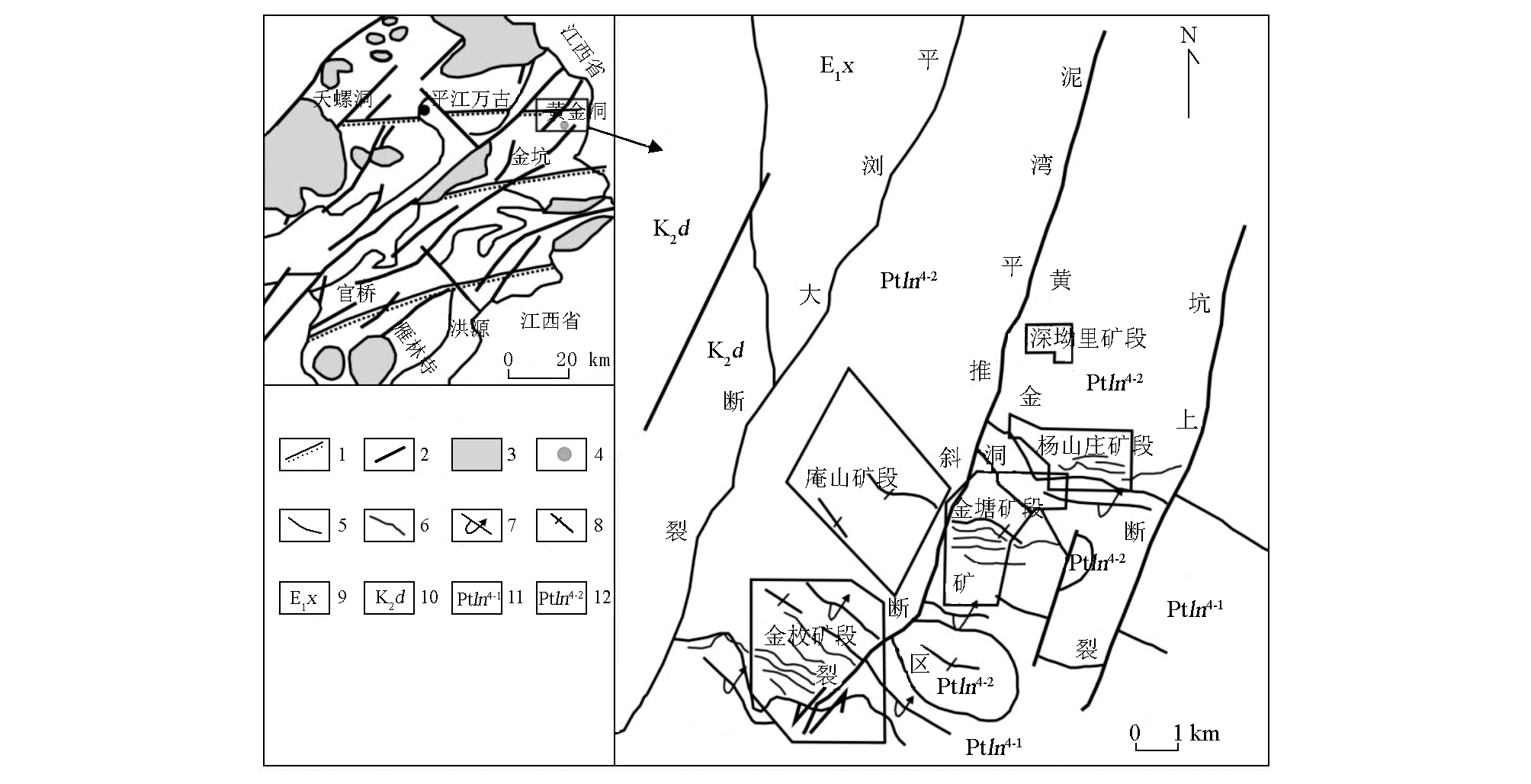
1—韧性推覆剪切带;2—断裂;3—花岗岩;4—金矿床;5—地质界线;6—矿脉;7—倒转向斜;8—倒转背斜;9—古近系新余组;10—白垩系上统戴家坪组;11—冷家溪群第四岩性第一岩组;12—冷家溪群第四岩性第二岩组
1—ductile nappe shear zone; 2—fracture; 3—granite; 4—gold deposit; 5—geological boundary; 6—ore vein; 7—reversed synellne; 8—reversed anticline; 9—Paleogene Xinyu formation; 10—Upper Cretaceous Daijiaping formation; 11—1st petrofabric of the 4th fithological member of Lengjiaxi group; 12—2nd petrofabric of the 4th fithological member of Lengjiaxi group